Houston William P. Hobby Airport (HOU)
Orientation and Maps
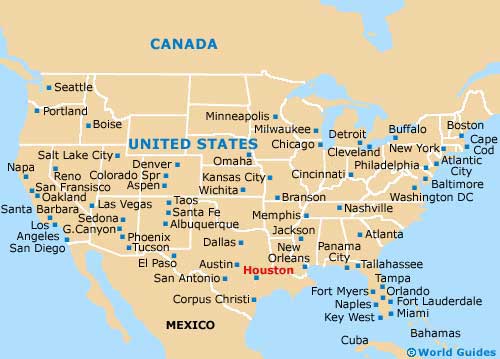
(Houston, Texas (TX), USA)
A sprawling city full of energy and life, Houston is one of the largest cities in the whole of the United States, featuring a population exceeding two million. With so many people living here, Houston can be a little hectic at times, but this is all part of the charm in this enormous metropolis. Home to a series of notable districts, neighborhoods and small towns, Houston has plenty on offer, including nearby coastal attractions, stretches of sandy beachfronts, and good surfing conditions.
Houston's number two airport, after the largest George Bush Airport (IAH), the city's William P Hobby Airport (HOU) is located to the southeast, off the I-45 interstate. An important domestic transport hub in this part of Texas, the William P Hobby Airport is easy to reach and close to the South Houston area and the Pasadena Plaza Shopping Center. Both of the city's airports are connected to the downtown district by a regular shuttle van service, provided by Express Shuttle USA.
Houston William P Hobby Airport (HOU) Maps: Important City Districts
Public transport options both in and around the city of Houston are good and include the modern MetroRail light-rail system and a number of buses at the Houston bus Terminal along Main Street, including Greyhound. Many frequent trains are also available at the downtown depot off Washington Avenue.
Those looking for shopping will be far from disappointed when they arrive in the city, with perhaps the best selection of shops located in the Galleries along Westheimer Road. Also popular is the smaller, but equally impressive, River Oaks Shopping Center on West Gray, close to Shepherd Drive. Further shops can be found in the heart of downtown Houston, being centered around Main Street, together with more restaurants, trendy bars and nightspots than you'll have time to sample.
USA Map
Texas Map

Houston Map

